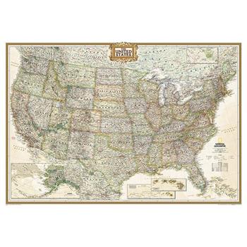
National Geographic: United States Executive Wall Map (43.5 X 30.5 Inches)
Expertly researched and designed, National Geographic's United States wall map is the standard by which other reference maps of the U.S. are measured.Product Features: Antique-style "executive" color palette All 50 states with insets for Hawaiian Islands and Alaska plus inset showing relative size of AlaskaClearly defined state and country boundaries, cities, islands, national parks, and physical featuresThousands of place names carefully and artfully placed to maintain legibility in heavily populated areasBackground shows mountain ranges and valleys in subtle shaded relief with mountain ranges labeled Major water bodies including rivers, lakes, gulfs, bays, straits, and ocean bathymetryTransportation routes including interstate highways, major state routes, airports, waterways, canals, and ferriesThe map is packaged in a two inch diameter tube with a label showing a thumbnail of the map with dimensions and other pertinent information.Map Scale = 1:4,557,000Sheet Size = 43.5" x 30.5"
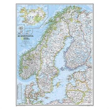
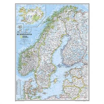
National Geographic: Scandinavia Classic Wall Map (23.5 X 30.25 Inches)
National Geographic's wall map of Scandinavia is one of the largest and most detailed maps of the region. The signature Classic style design uses a bright, easy-to-read color palette. This map features thousands of place names, accurate political boundaries, national parks, and major infrastructure networks such as roads, superhighways, airports, canals, ferry routes, and high-speed and passenger railroads. The region's diverse terrain is detailed through accurate shaded relief, coastal bathymetry, and symbolism for water features and other land forms. Elevations of major peaks and depth soundings are expressed in meters. Inset maps provide detail of Iceland, the Faroe Islands, and Jan Mayen. In addition to Norway, Sweden, and Finland, coverage includes Denmark, Lithuania, Latvia, Estonia, and Kaliningrad Oblast. The map is packaged in a two inch diameter tube with a label showing a thumbnail of the map with dimensions and other pertinent information.Map Scale = 1:2,763,000Sheet Size = 23.5" x 30.25"
Renaissance Globemaker's Toolbox + the Naming of America
A special boxed set of these companion volumes about the most important maps and notes in the history of cartography
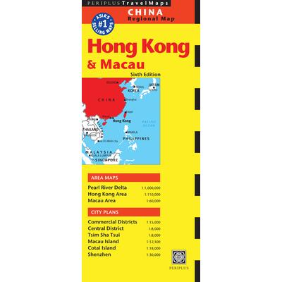
Periplus Hong Kong & Macau Travel Map
The Hong Kong & Macau Travel Map from Periplus is designed as a convenient, easy-to-use tool for travelers. It is created using durable coated paper and is made to open and fold multiple times, whether it's the entire map that you want to view or one panel at a time. Following highways and byways, this map will show you how to maneuver your way to banks, gardens, hotels, golf courses, museums, monuments, restaurants, churches and temples, movie theaters, shopping centers and more! This 6th edition includes maps and plans that are scaled to: Area Maps: Pearl River Delta 1:1,000,000 Hong Kong Area 1:110,000 Macau Area 1:60,000City Plans: Commercial Districts 1:15,000 Central District 1:8,000 Tsim Sha Tsui 1:8,000 Macau Island 1:12,500 Cotai Island 1:18,000 Shenzhen 1:30,000Periplus Travel Maps cover most of the major cities and travel destinations in the Asia-Pacific region. The series includes an amazing variety of fascinating destinations, from the multifaceted subcontinent of India to the bustling city-state of Singapore and the 'western style' metropolis of Sydney to the Asian charms of Bali. All titles are continuously updated, ensuring they keep up with the considerable changes in this fast-developing part of the world. This extensive geographical reach and attention to detail mean that Periplus Travel Maps are the natural first choice for anyone traveling in the region.
National Geographic: Scandinavia Classic Wall Map - Laminated (23.5 X 30.25 Inches)
National Geographic's wall map of Scandinavia is one of the largest and most detailed maps of the region. The signature Classic style design uses a bright, easy-to-read color palette. This map features thousands of place names, accurate political boundaries, national parks, and major infrastructure networks such as roads, superhighways, airports, canals, ferry routes, and high-speed and passenger railroads. The region's diverse terrain is detailed through accurate shaded relief, coastal bathymetry, and symbolism for water features and other land forms. Elevations of major peaks and depth soundings are expressed in meters. Inset maps provide detail of Iceland, the Faroe Islands, and Jan Mayen. In addition to Norway, Sweden, and Finland, coverage includes Denmark, Lithuania, Latvia, Estonia, and Kaliningrad Oblast. The map is encapsulated in heavy-duty 1.6 mil laminate which makes the paper much more durable and resistant to the swelling and shrinking caused by changes in humidity. Laminated maps can be framed without the need for glass, so the frames can be much lighter and less expensive. Map Scale = 1:2,763,000Sheet Size = 23.5" x 30.25"
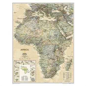
Africa Executive
Expertly researched and designed, National Geographic's Africa Wall Map is the authoritative map of Africa by which other reference maps are measured. Product Features: Antique-style "executive" color palette Background shows mountain ranges and valleys in subtle shaded relief with mountain ranges labeled Major water bodies including rivers, lakes, glaciers, oceans, seas, gulfs, bays, straits, and bathymetryClearly defined international boundaries, cities, islands, airports, and physical featuresThousands of place names carefully and artfully placed to maintain legibility in heavily populated areasUp-to-date international boundaries and territorial control reflect de facto status on the groundMeticulously researched using multiple authoritative sources including the United Nations and policies of individual governments.Accurate place names use a combination of conventional English names, official national names, and standard transliterations for non-Latin alphabets. Major landforms including deserts, lava fields, swamps, dry salt lakes, intermittent lakes, salt deserts, and areas below sea level Inset maps of the 10 island nations surrounding Africa and climate and terrain topographic map of the continent Countries shown include: Algeria, Angola, Benin, Botswana, Burkina Faso, Burundi, Cameroon, Cape Verde, Central African Republic, Chad, Democratic Republic of the Congo, Republic of Congo, C繫te d'Ivoire, Djibouti, Egypt, Equatorial Guinea, Eritrea, Ethiopia, Gabon, Gambia, Ghana, Guinea, Guinea-Bissau, Kenya, Liberia, Libya, Madagascar, Malawi, Mali, Mauritania, Morocco, Mozambique, Namibia, Niger, Nigeria, Rwanda, Senegal, Sierra Leone, Somalia, South Africa, Sudan, South Sudan, Tanzania, Togo, Tunisia, Uganda, Zambia, and Zimbabwe. The island nations shown are: Canary Islands, Madeira Islands, Comoros, Seychelles, Mauritius, Rodrigues, Reunion, Sao Tome and Principe, Bioko, and Cape Verde.The map is encapsulated in heavy-duty 1.6 mil laminate which makes the paper much more durable and resistant to the swelling and shrinking caused by changes in humidity. Laminated maps can be framed without the need for glass, so the frames can be much lighter and less expensive. Map Scale = 1:14,244,000Sheet Size = 24" x 30.75"
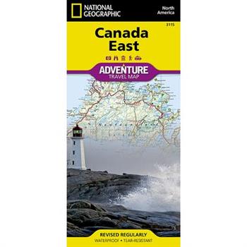
Canada East
- Waterproof - Tear-Resistant - Travel MapExplore the rich cultural history and many recreation activities available in Canada's eastern territories with National Geographic's Canada East Adventure Map. Designed to meet the needs of adventure travelers with its detailed, accurate information, this map includes the location of cities and towns with a user-friendly index and a clearly marked road network complete with distances and designations for roads, motorways, and expressways. Secondary routes are also included for those seeking to explore the stark wilderness of Newfoundland, the fertile farms of Prince Edward Island, or Nova Scotia's hidden coves and beaches. This map contains hundreds of diverse and unique recreational, ecological, cultural, and historic destinations. Whether you seek the quaint harbor gem of Halifax, the majestic city life of Toronto, or the old world charm of Montreal and Quebec City, you'll find it a perfect companion to a guidebook.On the front side of the print map you'll find routes leading to the stunning Niagara Falls, Canada's largest city of Toronto, Algonquin Provincial Park (Canada's largest national park), and the northern regions of Ontario and the Labrador Peninsula. The far eastern provinces on the reverse side are playgrounds for active exploring and scenic beauty, including Quebec, New Brunswick, Prince Edward Island, Nova Scotia, Newfoundland, and the mighty St. Lawrence River.Every Adventure Map is printed on durable synthetic paper, making them waterproof, tear-resistant and tough -- capable of withstanding the rigors of international travel.Map Scale = 1:2,100,000Sheet Size = 25.5" x 37.75"Folded Size = 4.25" x 9.25"
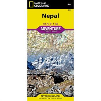
Nepal
- Waterproof - Tear-Resistant - Travel MapExplore the mystical reaches of the highest points on Earth with National Geographic's Nepal Adventure Map. This expertly crafted map includes the locations of thousands of cities and towns with an index for easily locating them, plus a clearly marked road network complete with distances and designations for highways, major roadways, secondary roads, scenic routes, and more. Classic trekking routes, main trails, and local trails are marked as well as areas for river rafting/kayaking and mountain biking. Hundreds of points of interest and diverse and unique destinations are highlighted including World Heritage sites, archeological sites, temples, monasteries, campsites, and more.The front side of the print map offers a detailed topographic and trekking map of central and eastern Nepal, including border regions with China and India. Mountaineers will stay on course with marked trails through the Himalayan Range, including Everest (the tallest mountain in the world), and the surrounding national parks and wildlife reserves. An inset of the Himalayas has been annotated to show elevation. The backside includes the western portion of Nepal, from the city of Mahendranagar in the west, to the Shey-Phoksundo National Park and Dhorpatan Hunting Reserve in the east. A detailed inset of Kathmandu and Patan City provide valuable locations of goods and services for casual tourists and seasoned trekkers alike. Every Adventure Map is printed on durable synthetic paper, making them waterproof, tear-resistant and tough -- capable of withstanding the rigors of international travel.Map Scale = 1:625,000Sheet Size = 37.75" x 25.5"Folded Size = 4.25" x 9.25"
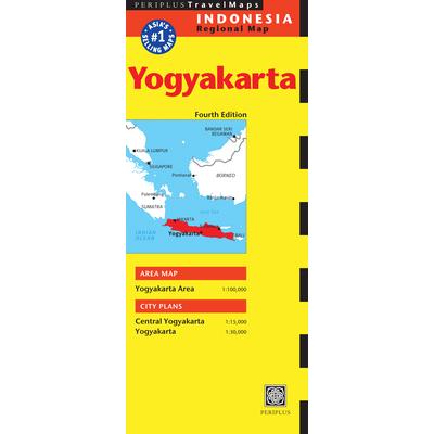
Periplus Travel Map Indonesia Regional Map
The Yogyakarta Travel Map from Periplus is designed as a convenient, easy-to-use tool for travelers. Created using durable coated paper, this map is made to open and fold multiple times, whether it's the entire map that you want to view or one panel at a time. Following highways and byways, this map will show you how to maneuver your way to banks, gardens, hotels, golf courses, museums, monuments, restaurants, churches and temples, movie theaters, shopping centers and more! This 4th edition includes maps and plans that are scaled to: Area Map: Yogyakarta Area 1:100,000City Plans: Central Yogyakarta 1:15,000 Yogyakarta 1:30,000Periplus Travel Maps cover most of the major cities and travel destinations in the Asia-Pacific region. The series includes an amazing variety of fascinating destinations, from the multifaceted subcontinent of India to the bustling city-state of Singapore and the 'western style' metropolis of Sydney to the Asian charms of Bali. All titles are continuously updated, ensuring they keep up with the considerable changes in this fast-developing part of the world. This extensive geographical reach and attention to detail mean that Periplus Travel Maps are the natural first choice for anyone traveling in the region.
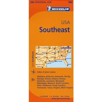
Michelin Map Southeast U.s.
Michelin regional maps each contain practical road and route information. Special Michelin reads-like-a-book format for easy use in folding and unfolding. Useful information for planning trips, including gas stations, 24-hour service stations, toll gates, rest areas and service plazas. Clear, precise cartography. Icons pinpoint important travel information.
Michelin Map New England, Hudson Valley
Michelin regional maps each contain practical road and route information. Special Michelin reads-like-a-book format for easy use in folding and unfolding. Useful information for planning trips, including gas stations, 24-hour service stations, toll gates, rest areas and service plazas. Clear, precise cartography. Icons pinpoint important travel information.
Michelin Map 735 Italy
Renowned for over 100 years for their clear, accurate and easy-to-read mapping, Michelin country maps give travelers an overall picture of their route, with practical road and travel information; and city maps containing extensive street indexes orient them quickly so they can find their way to their destination.
Michelin Map 733 Portugal
Renowned for over 100 years for their clear, accurate and easy-to-read mapping, Michelin country maps give travelers an overall picture of their route, with practical road and travel information; and city maps containing extensive street indexes orient them quickly so they can find their way to their destination.
Michelin Road Atlas Europe
The newly updated Michelin Europe Road Atlas is the ideal take-along for travelers driving through Europe. Covering more than 40 countries, the atlas contains an extensive place name index and 70+ large-scale urban maps. The atlas's grid-style format allows for highly detailed mapping on a manageable page size, while a driving regulations chart provides valuable road safety information. NEW: Travelers will find more sightseeing points of interest from Michelin's Green Guide travel series, clearly highlighted on the map pages. Travel with confidence in Europe with a Michelin atlas.
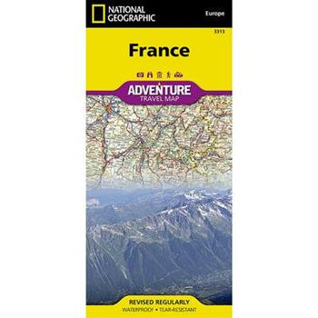
National Geographic Adventure Map France
- Waterproof - Tear-Resistant - Travel MapWith some of the world's most renowned museums, the French Riviera and Alps, picturesque rural areas and the iconic Eiffel Tower, France is the world's most popular tourist destination. Designed for all global adventurers, National Geographic's France Adventure Map is an invaluable tool for first-time excursionists and experienced trekkers alike. Find your destination in the user-friendly city and town index, then navigate the country by the mapped road network showing motorways, highways and others roadways, labeled with distance markers. Other transportation aids include airports, airfields, railroads, border crossing and ferry routes, including the multiple routes across the English Channel and Mediterranean Sea.Hundreds of pinpointed diverse and unique recreational, ecological, cultural, and historic destinations, make this expertly researched map the perfect complement to National Geographic's France Traveler's Guide or any other guidebook to the area. Some of the specialized content includes archeological sites, churches, monasteries, castles and castle ruins and tens of World Heritage Sites that are scattered throughout the country. The map covers France in its entirety, the Channel Islands and southern U.K., the city of Monaco and parts of the bordering countries of Spain, Italy, Switzerland, Germany, Luxembourg and Belgium. The island of Corsica is covered by an inset map.Every Adventure Map is printed on durable synthetic paper, making them waterproof, tear-resistant and tough -- capable of withstanding the rigors of international travel.Map Scale = 1:1,100,000Sheet Size = 37.75" x 25.5"Folded Size = 4.25" x 9.25"
National Geographic Kenya Map
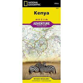
- Waterproof - Tear-Resistant - Travel MapExplore the diverse and iconic landscapes and many unique recreation activities available in this exciting country with National Geographic's Kenya Adventure Map. Designed to meet the needs of adventure travelers with its detailed, accurate information, this map includes the location of cities and towns with a user-friendly index and a clearly marked road network complete with distances and designations for expressways and roads. Scenic routes, four-wheel-drive tracks, and other trails are shown for those seeking to explore more remote regions. National parks, World Heritage sites, forts, archeological sites, campsites, hot springs, beaches, diving areas, and more are clearly indicated so travelers can take advantage of Kenya's many natural and historical attractions.The front side of the Kenya print map details the southern region of the country, from The Indian Ocean to the east, to the bordering country of Tanzania to the southwest. The reverse side of the map details the northern region, showing the bordering country of Ethiopia to the north, Somalia to the east, and Uganda to the west. Travel aids such as the locations of airports, airfields, railways, petrol stations, park entrances, and border crossings take the guesswork out of travel around the country.Every Adventure Map is printed on durable synthetic paper, making them waterproof, tear-resistant and tough -- capable of withstanding the rigors of international travel.Map Scale = 1:1,040,000Sheet Size = 37.75" x 25.5"Folded Size = 4.25" x 9.25"
Banff North [banff and Yoho National Parks]
- Waterproof - Tear-Resistant - Topographic MapNational Geographic's Trails Illustrated map of Banff North delivers unmatched detail for outdoor enthusiasts exploring the unparalleled mountain scenery and abundance of recreational opportunities of the Canadian Rockies. Expertly researched and created in cooperation with Parks Canada and others, the map covers the northern and western areas of Banff National Park as well as Yoho and Kootenay National Parks, Siffleur and White Goat Wilderness Areas, Kootenay Plains Provincial Park and the southeastern tip of Jasper National Park. Many popular recreation points of interest are shown, including Lakes Louise and O'Hara as well as the scenic Icefields Parkway, displayed with distance markers.Explore the area by following the map to trailheads and then along precisely mapped trails, shown with distance markers in miles and kilometers and labeled for hiking, biking and horseback riding. To aid in your navigation the map shows glaciers and icefields, contour lines and elevations, labeled peaks and passes, areas of rock debris and water features. Find suitable areas for exploration, according to your area of interest, with labeled campgrounds and campsites, backcountry lodging and cabins, horse camps and corrals, biking and skiing areas, river access points, fishing areas, lookout towers and scenic viewpoints. The map also includes background information about the area, bear safety tips and essential contact information.Every Trails Illustrated map is printed on "Backcountry Tough" waterproof, tear-resistant paper. A full UTM grid is printed on the map to aid with GPS navigation.Other features found on this map include: Banff National Park, Lake Louise.Map Scale = 1:100,000Sheet Size = 37.75" x 25.5"Folded Size = 4.25" x 9.25"
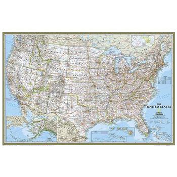
National Geographic: United States Classic Wall Map (Poster Size: 36 X 24 Inches)
Expertly researched and designed, National Geographic's United States wall map is the standard by which other reference maps of the U.S. are measured.Product Features: Signature Classic styling with bright, easy to read color palette with blue water and colorful state bordersAll 50 states with insets for Hawaiian Islands and Alaska plus inset showing relative size of AlaskaClearly defined state and country boundaries, cities, islands, national parks, and physical featuresThousands of place names carefully and artfully placed to maintain legibility in heavily populated areasBackground shows mountain ranges and valleys in subtle shaded relief with mountain ranges labeled Major water bodies including rivers, lakes, gulfs, bays, straits, and ocean bathymetryTransportation routes including interstate highways, major state routes, airports, waterways, canals, and ferriesThe 36" x 24" poster size supports easy and affordable framing and mounting, and takes less wall space than standard wall maps.The map is packaged in a two inch diameter tube with a label showing a thumbnail of the map with dimensions and other pertinent information.Map Scale = 1:5,410,000Sheet Size = 36" x 24"
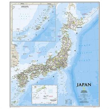
Japan Classic
The signature Classic style map of Japan features a bright color palette with blue oceans and the country's terrain detailed in stunning shaded relief that has been a hallmark of National Geographic wall maps for over 75 years. The map includes thousands of place names, accurate boundaries, national parks, and major infrastructure networks such as roads, highways, airports, and railroads. Coastal bathymetry is shown with depth curves and soundings. Inset maps provide detail of Japan's Southern Outer Islands and the Ryukyu Islands. Information about the 2011 Tohoku earthquake and tsunami is included as well.The map is packaged in a two inch diameter tube with a label showing a thumbnail of the map with dimensions and other pertinent information.Map Scale = 1:3,115,000Sheet Size = 25" x 29"
Bolivia Adventure Travel Map
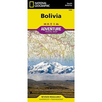
- Waterproof - Tear-Resistant - Travel MapLet National Geographic's Bolivia Adventure Map guide you as you explore this South American country with one of the highest levels of biodiversity in the world. Quickly find your destination with the aid of a user-friendly index of cities, towns and protected areas. Then plan your route using the mapped road network, complete with distances and designations for major and secondary roads as well as tracks and trails for those seeking to travel off the beaten path. Other travel network features include airports, airfields, railroads, ferry routes and border crossings. In addition, hundreds of cultural, historical, ecological and recreational points of interest are pinpointed, such as camping areas, archeological sites, geysers, spas, churches and UNESCO World Heritage Sites. The map's north side covers the country from its northern borders with Brazil and Peru down to the capital of La Paz, including Madidi and Noel Kempff Mercado National Parks, Tiwanaku and Lake Titicaca. While the south side covers the more mountainous southern half of the country from La Paz to the borders with Paraguay, Chile and Argentina. Included are the cities of Potosi and Sucre, Eduardo Avaroa Andean Fauna National Reserve and the world's largest salt flat, Salar de Uyuni. With such an abundance of specialized content, along with its topographic features, this map is the perfect compliment to any guidebook to the country. Every Adventure Map is printed on durable synthetic paper, making them waterproof, tear-resistant and tough -- capable of withstanding the rigors of international travel.Map Scale = 1:1,415,000Sheet Size = 37.75" x 25.5"Folded Size = 4.25" x 9.25"
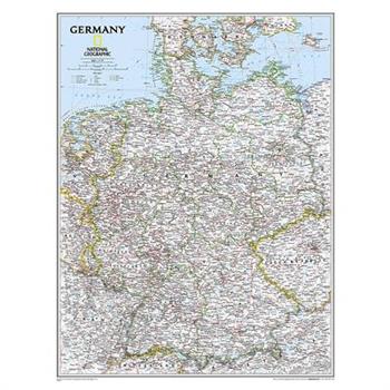
National Geographic: Germany Classic Wall Map (23.5 X 30.25 Inches)
National Geographic's map of Germany is as attractive as it is functional. Rendered in the Classic style with colorful, clearly defined international borders, shaded relief, and easy-to-read fonts, this map includes thousands of place names. Major infrastructure such as airports, major roadways, canals, high-speed and passenger railroads, as well as oil fields and pipelines are noted. Coastal bathymetry on the North and Baltic seas is shown with depth curves and soundings. Coverage also includes Luxembourg and portions of Denmark, Poland, Czech Republic, Austria, Switzerland, France, Belgium and the Netherlands. The map is packaged in a two inch diameter tube with a label showing a thumbnail of the map with dimensions and other pertinent information.Map Scale = 1:1,375,000Sheet Size = 23.5" x 30.25"
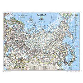
National Geographic: Russia Classic Wall Map (30.25 X 23.5 Inches)
National Geographic's political map of Russia and the independent states of the former Soviet Union is one of the most authoritative maps of region. This Classic style wall map features a bright color palette with blue oceans and the country's terrain detailed in stunning shaded relief that has been a hallmark of National Geographic maps for over 75 years. Thousands of place names, accurate political boundaries, bodies of water, and major infrastructure networks such as roadways, airports, canals, oil pipelines, and railroads are detailed. Coastal bathymetry is shown with depth curves and soundings, and the boundaries of Northern Sea shipping routes are marked as well. Coverage also includes Norway, Sweden, Finland, Denmark, Latvia, Lithuania, Estonia, Ukraine, Belarus, Georgia, Armenia, Azerbaijan, Turkmenistan, Uzbekistan, Kazakhstan, Kyrgyzstan, Tajikistan, Afghanistan, Mongolia, North Korea, South Korea, and Japan, as well as portions of Germany, Poland, Iran, Pakistan, and China. The map is packaged in a two inch diameter tube with a label showing a thumbnail of the map with dimensions and other pertinent information.Map Scale = 1:12,376,000Sheet Size = 30.25" x 23.5"
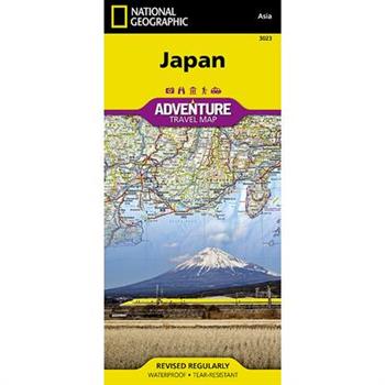
National Geographic Japan Map
- Waterproof - Tear-Resistant - Travel MapExplore the Land of the Rising Sun with National Geographic's expertly researched Japan Adventure Map. The user-friendly design combined with unparalleled detail provides adventure travelers the ultimate tool for exploring this island nation. Coverage includes the four main islands of Hokkaido, Honshu, Shikoku and Kyushu, as well as the southeastern tip of the Korean Peninsula. Inset maps cover Okinawa and many of the other Ryukyu Islands. Some popular destinations include the cities of Tokyo, Kyoto and Nara, Mount Fuji, the Hiroshima Peace Memorial and Himeji Castle. The map is the perfect compliment to National Geographic's Japan Traveler Guide or any other guidebook.Hundreds of highlighted cultural, historical and recreational points of interest, including UNESCO World Heritage Sites, National Parks, botanical gardens, castles, churches, Buddhist temples, Shinto shrines, caves, waterfalls, hot springs, ski area and beaches, will guide you to popular tourist hot spots as well as to hidden gems away from major tourist hubs. Cities and towns can be easily found with the help of a clear and convenient index. A road network complete with distances and designations for motorways, expressways, major roads and secondary roads, will help find select a suitable route, including one off the beaten path. Other transportation features include airports, ferries routes, harbors, railroads and high-speed trains.Every Adventure Map is printed on durable synthetic paper, making them waterproof, tear-resistant and tough -- capable of withstanding the rigors of international travel.Map Scale = 1:1,300,000Sheet Size = 37.75" x 25.5"Folded Size = 4.25" x 9.25"
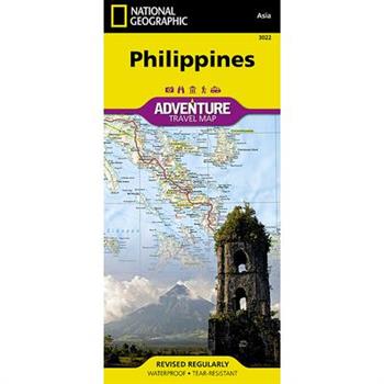
National Geographic Philippines Map
- Waterproof - Tear-Resistant - Travel MapThe Philippines, an archipelago of over 7,000 islands in southeast Asia, offer an extraordinary fusion of cultures and rich biodiversity. National Geographic's Philippines Adventure Map provides global travelers with the perfect combination of detail and perspective in a highly functional travel tool. Each of the three principal geographic divisions of the country -- Luzon, Visayas, and Mindanao -- are detailed. The front side of the print map shows Luzon and includes an inset of the Batanes province. The Visayan Islands, Mindanao, and an inset of the province of Tawi-Tawi are shown on the reverse side.Cities and towns are easy to find with the map's helpful index. Highways and major roads as well as minor and secondary roads are clearly designated and include distance in kilometers so travelers can easily plan their best route. National parks and reserves, World Heritage sites, hot springs, beaches, points of interest, and areas for surfing and diving are indicated so travelers can take advantage of the Philippines' many natural attractions and activities. The locations of airports, airfields, railroads, and ferry routes take the guesswork out of travel around the islands.Every Adventure Map is printed on durable synthetic paper, making them waterproof, tear-resistant and tough -- capable of withstanding the rigors of international travel.Map Scale = 1:1,300,000Sheet Size = 37.75" x 25.5"Folded Size = 4.25" x 9.25"
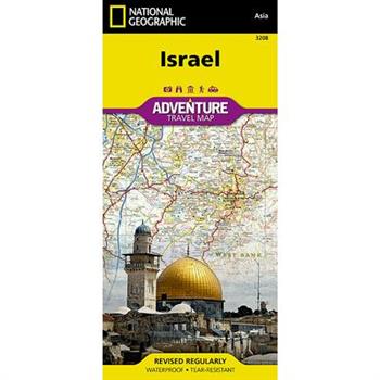
Israel
- Waterproof - Tear-Resistant - Travel MapNational Geographic's Israel Adventure Map is the perfect travel companion for Holy Land adventure travelers. This expertly researched map details the country with unparalleled information not found in traditional road maps. Hundreds of diverse and unique recreational, ecological, cultural, and historic destinations are pinpointed, including many hidden gems, such as Islamic and Jewish sacred sites, churches, mosques, archeological site, beaches, hotels, hostels, airports and harbors. A clearly marked network of both primary and secondary roads, shown with distances, along with an index of cities and towns will guide you on your adventure, while mapped hiking trails, including The Israel Trail, will help you get off the beaten path.This comprehensive map covers Israel in its entirety and complements any guidebook to the region. Also shown are Palestinian areas in the West Bank and Gaza Strip and bordering areas in Jordan, Syria and Lebanon. The country's three most populated cities Jerusalem, Tel-Aviv and Haifa can be found on the map's northern side, along with the Sea of Galilee (Kinneret), Nazareth, the Golan Heights and most of the Dead Sea. The map's southern side covers the cities of Be'ersheva, Hebron, Bethlehem and Eilat along with the Gaza Strip, Dead Sea, the ancient fortification of Masada and the Jordanian city of Aqaba. Every Adventure Map is printed on durable synthetic paper, making them waterproof, tear-resistant and tough -- capable of withstanding the rigors of international travel.Map Scale = 1:275,000Sheet Size = 25.5" x 37.75"Folded Size = 4.25" x 9.25"
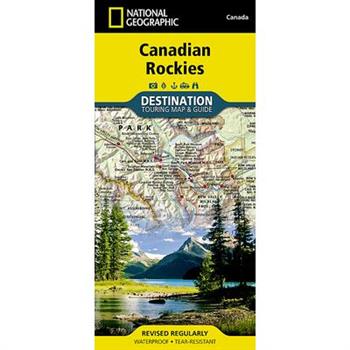
Canadian Rockies Destination Guide Map
- Waterproof - Tear-Resistant - Travel MapNational Geographic's Canadian Rockies Destination Map strikes the perfect balance between map and guidebook and is an ideal resource for touring this culturally and geographically unique region. Canada's share of the Rocky Moutains averages approximately 100 miles across (160 kilometers) and runs from Waterton Lakes National Park on the Alberta-Montana border northwest towards the Yukon territory.The front side of the Canadian Rockies DestinationMap reveals a map of the Alberta-British Columbia border region in the range's southern half, which is home to the many beautiful and accessible parks for which the Canadian Rockies are famous. Jasper, Banff, Yoho, Glacier, and Kootenay National Parks are featured as well as a comprehensive road network including the Trans-Canada highway and Icefields Parkway. Indian reserves, provincial parks, protected and natural areas, wilderness, and recreation areas are featured on the map. Photographs highlight points of interest including the Fairmont Chateau Lake Louise, Athabasca Glacier, Natural Bridge, and Cave and Basin Natural Historic Site.The reverse side of the map provides invaluable content for travelers, including a chart and important information regarding Banff, Glacier, Jasper, Kootenay, Mount Revelstoke, Waterton Lakes, and Yoho National Parks. Visitor resources including airports, buses and shuttles, railways and parks and camping services are featured as well as information on weather, geology, wildlife, history and culture, and outdoor recreation opportunities including hiking, climbing and winter sports.Every Destination Map is printed on durable synthetic paper, making them waterproof, tear-resistant and tough -- capable of withstanding the rigors of any kind of travel.Map Scale = 1:710,000Sheet Size = 25.5" x 37.75"Folded Size = 4.25" x 9.25"
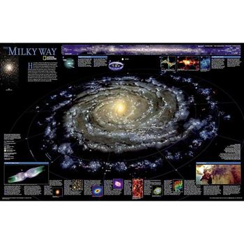
National Geographic: The Milky Way Wall Map (31.25 X 20.25 Inches)
This computer-generated image of the Milky Way shows the entire galaxy in one perspective of a 3-D model compiled specially for National Geographic. The model incorporates the positions of hundreds of thousands of stars and nebulae within the galaxy, shows Earth's location, and includes additional photographs, descriptions and locations of fascinating phenomena throughout the Milky Way.The map is packaged in a two inch diameter tube with a label showing a thumbnail of the map with dimensions and other pertinent information.Sheet Size = 31.25" x 20.25"
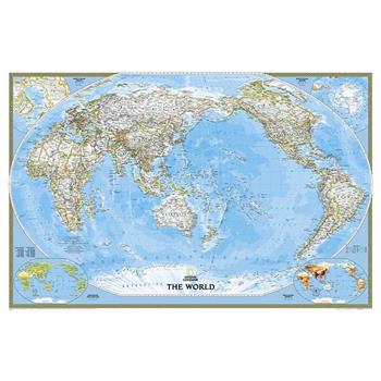
World Classic, Pacific Centered
Expertly researched and designed, National Geographic's World Wall Map is the authoritative map of the world by which other reference maps are measured.Product Features: Signature Classic style map with bright, easy to read color palette with blue oceans and colorful bordersUnique Pacific-centered view accentuates the Pacific Rim and focuses on Asia, Oceania, and the full breadth of the Pacific Ocean. Background shows mountain ranges and valleys in subtle shaded relief with mountain ranges labeled Major water bodies including rivers, lakes, glaciers, oceans, seas, gulfs, bays, straits, and bathymetryClearly defined international boundaries, cities, islands, airports, and physical featuresThousands of place names carefully and artfully placed to maintain legibility in heavily populated areasUp-to-date international boundaries and territorial control reflect de facto status on the groundMeticulously researched using multiple authoritative sources including the U.N., U.S. Board on Geographic Names, and policies of individual governments.Accurate place names use a combination of conventional English names, official national names, and standard transliterations for non-Latin alphabets. Drawn in Winkel Tripel projection with distortions minimized unlike other World maps (e.g. Greenland is shown the same size as Argentina, not South America)Corner inset maps feature vegetation, land use, population density, and north and south polar regionsThe map is encapsulated in heavy-duty 1.6 mil laminate which makes the paper much more durable and resistant to the swelling and shrinking caused by changes in humidity. Laminated maps can be framed without the need for glass, so the frames can be much lighter and less expensive. Map Scale = 1:29,820,000Sheet Size = 46" x 30.5"
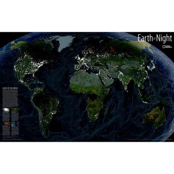
National Geographic: Earth at Night Wall Map (35 X 22.25 Inches)
This intriguing map reveals in stunning detail the pulsating lights of the Earth at night. See where populations are most and least concentrated. The rare view is a composite image made by three satellites on cloud-free nights over a one-year period. In addition to showing lighted areas of the Earth, this map also features where fires rage and natural gas burn-off and night fishing locations.The map is packaged in a two inch diameter tube with a label showing a thumbnail of the map with dimensions and other pertinent information.Sheet Size = 35" x 22.25"
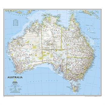
National Geographic: Australia Classic Wall Map (30.25 X 27 Inches)
National Geographic's wall map of Australia is one of the most authoritative maps of the "Land Down Under." The Classic style map uses a bright color palette featuring blue oceans and stunning shaded relief that has been a signature of National Geographic wall maps for over 75 years. This map features thousands of place names, including primary and secondary towns, accurate boundaries, parks and protected areas, aboriginal lands, and transportation infrastructure such as airports and highways. Australia's famous coastal reefs including the extraordinary Great Barrier Reef are shown as well. Coverage also includes Tasmania and the Coral Sea Islands.The map is packaged in a two inch diameter tube with a label showing a thumbnail of the map with dimensions and other pertinent information.Map Scale = 1:6,413,000Sheet Size = 30.25" x 27"
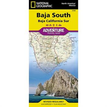
National Geographic Adventure Map Baja South
- Waterproof - Tear-Resistant - Travel MapLocated in Northwestern Mexico, the Baja California Peninsula is a popular travel destination for its abundant recreation and conservation opportunities. National Geographic's Baja South Adventure Map covers with unparalleled detail the state of Baja California Sur, in more sparsely populated southern half of the peninsula are some of the Gulf of California Islands. The northern side of the map covers the UNESCO World Heritage Site, Rock Paintings of the Sierra de San Francisco, Bahia Loreto and El Vizcaino. The southern side covers the state capital La Paz, Cabo San Lucas, San Jose del Cabo and Corredor Los Cabos. Inset maps give extensive detail to these popular areas. Cultural, historical, recreational and ecological points of interest, a road network and topographic features are all combined on this easy to use and expertly researched map. With such specialized content, this map is the perfect compliment to any guidebook. Pinpointed are missions, ruins, museums, lighthouses, scenic viewpoints, wildlife viewing spots, beaches and areas for surfing, diving, fishing, kayaking, sailing, windsurfing, snorkeling and whale watching. The detailed road network includes not only major highways and toll roads but also gravel and dirt roads, to help you get off the beaten path. Moreover, a table of distances is provided as are ferry routes, railroads and an index of protected areas and select towns.Every Adventure Map is printed on durable synthetic paper, making them waterproof, tear-resistant and tough -- capable of withstanding the rigors of international travel.Map Scale = 1:450,000 & 1:75,000Sheet Size = 37.75" x 25.5"Folded Size = 4.25" x 9.25"
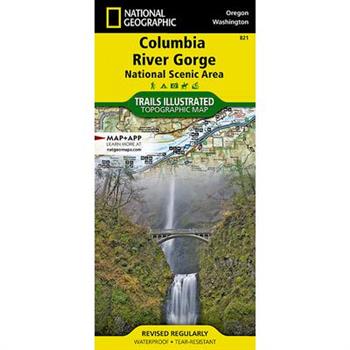
Columbia River Gorge National Scenic Area
- Waterproof - Tear-Resistant - Topographic MapThe magnificent Multnomah Falls is just one of many natural, cultural, and recreational attractions in the Columbia River Gorge Scenic Area. The 80-mile-long gorge contains diverse ecosystems ranging from the lush Oneonta Gorge Rain Forest to the arid Celilo Grasslands. Expertly researched and created in partnership with local land management agencies, National Geographic's Trails Illustrated map of Columbia River Gorge provides an unparalleled tool for exploring this breathtaking region. Some of the key areas of interest featured on the map include the White Salmon, Klickitat, Sandy, and Lower Deschutes rivers; Yacolt Burn State Forest; Maryhill, Columbia Hills, and Rooster Rock state parks; Mark O. Hatfield Wilderness; and portions of Mount Hood and Gifford-Pinchot national forests. With miles of clearly marked trails including the Pacific Crest National Trail and the Oregon National Historic Trail, and such scenic roadways as the Historic Columbia River Highway and Yakima Scenic Byway, this map will prove invaluable whether you're taking in the scenery on foot or by car. A helpful list of waterfalls makes it easy to take in these natural wonders in your travels. Many recreation features are noted as well, including campgrounds, trailheads, interpretive trails, boat launches, and areas for fishing, windsurfing, and swimming. The map base includes contour lines and elevations for summits. Every Trails Illustrated map is printed on "Backcountry Tough" waterproof, tear-resistant paper. A full UTM grid is printed on the map to aid with GPS navigation.Other features found on this map include: Bonneville Dam, Bull Run Reservoir Number One, Camas, Columbia Hills, Deschutes River, Gifford Pinchot National Forest, Gresham, Hood River, Klickitat River, Lake Celilo, Mark O. Hatfield Wilderness, Mount Defiance, Mt. Hood National Forest, Multnomah Falls, Shellrock Mountain, The Dalles, Troutdale, Washougal, White Salmon River.Map Scale = 1:75,000Sheet Size = 37.75" x 25.5"Folded Size = 4.25" x 9.25"
Pocket World Atlas
A handy pocket-sized book, conveniently bound in a durable yet flexible laminated cover, this new edition of the Pocket World Atlas contains full-color digitally produced maps as well as the latest statistics for countries and cities. The maps are carefully colored to show terrain as well as elevation, and the latest changes to major transportation routes and administrative boundaries are clearly depicted. A 64-page index follows the maps and contains more than 15,000 entries of places and geographical features, and the atlas also boasts such unique features as 24 city plans, a gazetteer of nations, maps of time zones and flight paths, and world climate averages.
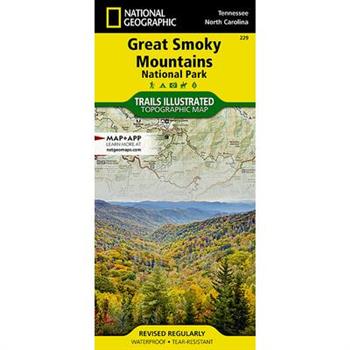
National Geographic Trails Illustrated Great Smoky Mountains National Park, Tennessee/Nort
- Waterproof - Tear-Resistant - Topographic MapAmerica's most visited national park and a UNESCO World Heritage Site, Great Smoky Mountains National Park is both renowned for its diversity of plant and animal life and rich in remnants of Southern Appalachian mountain culture. National Geographic's Trails Illustrated map of the park combines unparalleled detail and valuable information for outdoor enthusiasts seeking to explore all the area has to offer with particular attention shown to backcountry campsites, shelters, and stream crossings. A detailed profile of the Appalachian National Scenic Trail, which snakes along the ridge of the Great Smoky Mountains, provides a handy tool for hikers. The map features many key points of interest as well, including Cades Cove, Fontana Lake, Maryville, and Gatlinburg. With over 800 miles of mapped trails, the Great Smoky Mountains National Park map can guide you off the beaten path and back again. The clearly marked trails include mileages between intersections. The map base includes contour lines and elevations for summits, passes and many lakes. Some of the many recreation features include: visitor centers, campgrounds, trail shelters, trailheads, boat ramps, scenic overlooks, interpretive trails and quiet walkways.Every Trails Illustrated map is printed on "Backcountry Tough" waterproof, tear-resistant paper. A full UTM grid is printed on the map to aid with GPS navigation.Other features found on this map include: Cherokee National Forest, Chilhowee Mountain, Kuwohi, Fontana Lake, Great Smoky Mountains, Maryville, Mount Chapman, Mount Le Conte, Nantahala National Forest, Newfound Gap, Old Black, Pisgah National Forest, Waynesville.Map Scale = 1:70,000Sheet Size = 37.75" x 25.5"Folded Size = 4.25" x 9.25"
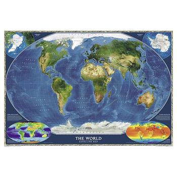
National Geographic: World Satellite Wall Map (43.5 X 30.5 Inches)
National Geographic's striking satellite map of The World is a visually stunning image that makes a wonderful addition to the wall of any office or study. This detailed composite map draws from more than 500 satellite images to give one-kilometer detail and consistent representation of Earth's natural colors and terrain. Inset maps detail the biosphere, surface temperature, and the polar regions. The beauty and complexity of Earth's landscapes, both above and below the oceans, is revealed with the Global Satellite Mosaic which was produced for National Geographic Society by NASA's Jet Propulsion Laboratory.The map is packaged in a two inch diameter tube with a label showing a thumbnail of the map with dimensions and other pertinent information.Map Scale = 1:38,931,000Sheet Size = 43.5" x 30.5"
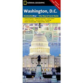
National Geographic Destination Map Washington D.C.
- Waterproof - Tear-Resistant - Travel MapThe national's capital and home to many of the country's most treasured monuments and museums, Washington D. C. is a popular destination for business and leisure travelers. National Geographic's City Destination map of Washington D. C. is a comprehensive guide to the city, combining an easy-to-read road map with an informative and well researched travel guide. The map covers the city from Georgetown, through the White House, National Mall and Capitol, to the Washington Navy Yard, along with parts of Northern Virginia, the Potomac River and its many bridges.Pinpointed on the map are hundreds of points of interest, including monuments, hotels, places of worship, parks, police stations, hospitals, notable buildings and metro stations. Many of the city's most popular attractions are depicted in 3D, including the Lincoln Memorial, Washington Monument and White House. An inset map outlines the neighboring area of Old Town Alexandria. A comprehensive metro map along with diagrams of Dulles and Reagan National Airports are shown along with background information of the transit system. To assist in your navigation of the area, a user friendly index of streets, government buildings, monuments, museums, parks, hotels and metro stations is also provided.Every Destination Map is printed on durable synthetic paper, making them waterproof, tear-resistant and tough -- capable of withstanding the rigors of any kind of travel.Map Scale = 1:11,300Sheet Size = 24.75" x 17.75"Folded Size = 4" x 8.75"
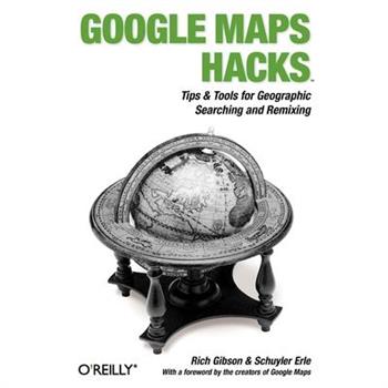
Google Maps Hacks
Want to find every pizza place within a 15-mile radius? Where the dog parks are in a new town? The most central meeting place for your class, club or group of friends? The cheapest gas stations on a day-to-day basis? The location of convicted sex offenders in an area to which you may be considering moving? The applications, serendipitous and serious, seem to be infinite, as developers find ever more creative ways to add to and customize the satellite images and underlying API of Google Maps. Written by Schuyler Erle and Rich Gibson, authors of the popular Mapping Hacks, Google Maps Hacks shares dozens of tricks for combining the capabilities of Google Maps with your own datasets. Such diverse information as apartment listings, crime reporting or flight routes can be integrated with Google's satellite imagery in creative ways, to yield new and useful applications. The authors begin with a complete introduction to the "standard" features of Google Maps. The adventure continues with 60 useful and interesting mapping projects that demonstrate ways developers have added their own features to the maps. After that's given you ideas of your own, you learn to apply the techniques and tools to add your own data to customize and manipulate Google Maps. Even Google seems to be tacitly blessing what might be seen as unauthorized use, but maybe they just know a good thing when they see one. With the tricks and techniques you'll learn from Google Maps Hacks, you'll be able to adapt Google's satellite map feature to create interactive maps for personal and commercial applications for businesses ranging from real estate to package delivery to home services, transportation and more. Includes a foreword by Google Maps tech leads, Jens and Lars Rasmussen.
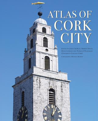
Atlas of Cork City
The evolution of Cork city is traced through a wide-ranging series of texts, and through a rich tapestry of images, including photographs, archival material, satellite images, and artwork.* The atlas provides the reader with one of the most comprehensive collection of historic maps on Cork.* It brings together for the first time specialists from a wide range of disciplines (including geographers, historians, and archaeologists), who explore the city and its development over time.* Lavishly illustrated, the atlas offers the reader a timely and unique guide to Cork and its transformation.A unique project, marking Cork's designation as European Capital of Culture in 2005, the Atlas provides the reader with a range of perspectives on the city and its development over time. It is not an atlas in the conventional sense, as it is not solely reliant on maps, though there are many of these, both historical and specially commissioned for the volume.The initial chapters place the city in its environmental setting. Subsequent chapters trace its physical and cultural development over time. With over fifty contributors from a wide range of disciplines offering forty chapters and a fascinating series of case studies, the range is remarkable and the topics covered often surprising. Over 200 maps cover everything from geology, through evolving street patterns, to the distribution of Gaelic Athletic Association clubs.Given its significant maritime heritage, Cork has been shaped by both external and internal influences, and the cityscape bears the imprint of the various peoples who have lived and settled there. This is not just one story, but a myriad of stories, some better known than others, but all contributing to the making and remaking of the city--a city continually in transition. The atlas also provides its readers and planners with an opportunity to reflect in a more informed way on Cork's future development.
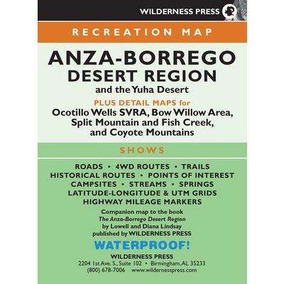
Anza-borrego Desert Region Map
Find your way in California's beautiful desert region with this large, foldout topographic map.A vast and intriguing landscape, the Anza-Borrego Desert Region harbors a rich variety of desert plants and animals. Prepare for adventure as you explore the best of over 1 million acres of desert lands and adjoining mountainous areas that include Anza-Borrego Desert State Park, the Yuha Desert, Ocotillo Wells State Vehicular Recreation Area, Bow Willow, Split Mountain and Fish Creek, and the Coyote Mountains.Discover the best hikes with this four-color topographic map. The detailed map is 28" x 21.25", and it contains all the information you need to explore. On one side, the map features a view of the vast region--from the Cleveland National Forest to the Salton Sea. The other side presents detail maps of Borrego Mountain and Ocotillo Wells, Split Mountain and Fish Creek Wash, the Coyote Mountains, and the Bow Willow area.This beautiful map shows every major road (along with minor and unpaved roads), and it includes trails, trailheads, campgrounds, mines and quarries, ranger stations, waterways, peaks, and more. The map is a wonderful supplement to the guidebook Anza-Borrego Desert Region (not included).When you're finished, fold the map back to the convenient size of 5.3" x 7". It is lightweight, durable, waterproof, and it fits in your backpack or back pocket. So you can carry it with you on your adventures! Use the map alone, or pair it with the book for even more great information.
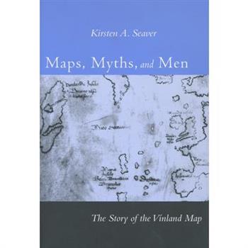
Maps, Myths, and Men
The "V穩nland Map" first surfaced on the antiquarian market in 1957 and the map's authenticity has been hotly debated ever since-in controversies ranging from the anomalous composition of the ink and the map's lack of provenance to a plethora of historical and cartographical riddles. Maps, Myths, and Men is the first work to address the full range of this debate.
Yellowstone National Park [map Pack Bundle]
- Waterproof - Tear-Resistant - Topographic MapsAt over 3,500 square miles the size of Yellowstone National Park is hard to absorb. This four title Map Pack Bundle helps to bring this enormous park into sharper focus. Each map covers a section of the park but still provides enough overlap with the adjacent maps to allow all four to be used easily. The maps cover the different areas of the park so that a visitor can move easily from geysers to lakes to waterfalls to the deep backcountry. One of the main draws of Yellowstone National Park is the wildlife, these maps clearly show the Bear Management Areas that have been established to reduce the conflict between humans and the large bear population. The maps include trails with mileages between intersections as well as numerous points of interest such as campgrounds, visitor centers, trailheads, and many more.The Yellowstone National Park Map Pack includes: Map 302:: Old Faithful: Yellowstone National Park SWMap 303:: Mammoth Hot Springs: Yellowstone National Park NWMap 304:: Tower, Canyon: Yellowstone National Park NEMap 305:: Yellowstone Lake: Yellowstone National Park SEEvery Trails Illustrated map is printed on "Backcountry Tough" waterproof, tear-resistant paper. A full UTM grid is printed on the map to aid with GPS navigation.Map Scale = 1:70,000Sheet Size = 37.75" x 25.5"Folded Size = 4" x 7.5"
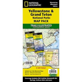
National Geographic Trails Illustrated Topographic Maps Yellowstone & Grand Teton National
- Waterproof - Tear-Resistant - Topographic MapsYellowstone National Park was the world's first national park and covers 3,500 square miles. Just to the south of Yellowstone, are the jagged peaks of Grand Teton National Park. The Map Pack Bundle includes maps of both of these iconic parks. Each park has its own character with Yellowstone's mighty falls, massive lake and dramatic geisers. Not to be overlooked, the Teton Range of Grand Teton National Park juts almost vertically from Jackson Lake. The two maps in the Map Pack cover the many thousands of square miles and show popular tourist destinations as well as the deep backcountry where only the hardcore backpacker will be seen. The maps include detailed trail networks with points of interest such as campgrounds, boat ramps, ski areas, and many more.The Yellowstone and Grand Teton National Parks Map Pack includes: Map 201:: Yellowstone National ParkMap 202:: Grand Teton National ParkEvery Trails Illustrated map is printed on "Backcountry Tough" waterproof, tear-resistant paper. A full UTM grid is printed on the map to aid with GPS navigation.Map Scale = 1:126,720 & 1:80,000Sheet Size = 37.75" x 25"Folded Size = 4.25" x 9.25"
Natural Adventures in the Mountains of North Georgia
What do panning for gold, splashing in a spring-fed swimming pool, touring Civil War battlefields, rafting a wild and scenic river, exploring mysterious prehistoric Indian mounds, picking heirloom apples and visiting the seat of nineteenth-century Cherokee culture have in common? You and your family can find all these activities and dozens more in the mountains of north Georgia. Just a few hours from Atlanta, this region is rich in natural and human history. Hike to Brasstown Bald, tube a cool mountain stream in alpine Helen, search for stalactites in the Cave Spring Cave or simply tour the backroads to find the perfect picnic spot. For each activity or destination, the authors provide historical background, how-to information, or interesting facts. Find out when to go, what to expect and how to get there in this illustrated guide for adventurers of all ages.





![Banff North [banff and Yoho National Parks] Banff North [banff and Yoho National Parks]](https://cdn.kingstone.com.tw/english/images/product/6598/9781566956598m.jpg?Q=0ad1c)

![Yellowstone National Park [map Pack Bundle] Yellowstone National Park [map Pack Bundle]](https://cdn.kingstone.com.tw/english/images/product/4019/9781597754019m.jpg?Q=e3191)
