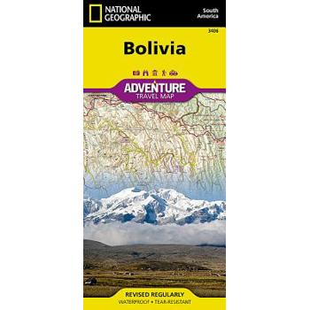
Bolivia Adventure Travel Map
- Waterproof - Tear-Resistant - Travel MapLet National Geographic's Bolivia Adventure Map guide you as you explore this South American country with one of the highest levels of biodiversity in the world. Quickly find your destination with the aid of a user-friendly index of cities, towns and protected areas. Then plan your route using the mapped road network, complete with distances and designations for major and secondary roads as well as tracks and trails for those seeking to travel off the beaten path. Other travel network features include airports, airfields, railroads, ferry routes and border crossings. In addition, hundreds of cultural, historical, ecological and recreational points of interest are pinpointed, such as camping areas, archeological sites, geysers, spas, churches and UNESCO World Heritage Sites. The map's north side covers the country from its northern borders with Brazil and Peru down to the capital of La Paz, including Madidi and Noel Kempff Mercado National Parks, Tiwanaku and Lake Titicaca. While the south side covers the more mountainous southern half of the country from La Paz to the borders with Paraguay, Chile and Argentina. Included are the cities of Potosi and Sucre, Eduardo Avaroa Andean Fauna National Reserve and the world's largest salt flat, Salar de Uyuni. With such an abundance of specialized content, along with its topographic features, this map is the perfect compliment to any guidebook to the country. Every Adventure Map is printed on durable synthetic paper, making them waterproof, tear-resistant and tough -- capable of withstanding the rigors of international travel.Map Scale = 1:1,415,000Sheet Size = 37.75" x 25.5"Folded Size = 4.25" x 9.25"
Banff North [banff and Yoho National Parks]
- Waterproof - Tear-Resistant - Topographic MapNational Geographic's Trails Illustrated map of Banff North delivers unmatched detail for outdoor enthusiasts exploring the unparalleled mountain scenery and abundance of recreational opportunities of the Canadian Rockies. Expertly researched and created in cooperation with Parks Canada and others, the map covers the northern and western areas of Banff National Park as well as Yoho and Kootenay National Parks, Siffleur and White Goat Wilderness Areas, Kootenay Plains Provincial Park and the southeastern tip of Jasper National Park. Many popular recreation points of interest are shown, including Lakes Louise and O'Hara as well as the scenic Icefields Parkway, displayed with distance markers.Explore the area by following the map to trailheads and then along precisely mapped trails, shown with distance markers in miles and kilometers and labeled for hiking, biking and horseback riding. To aid in your navigation the map shows glaciers and icefields, contour lines and elevations, labeled peaks and passes, areas of rock debris and water features. Find suitable areas for exploration, according to your area of interest, with labeled campgrounds and campsites, backcountry lodging and cabins, horse camps and corrals, biking and skiing areas, river access points, fishing areas, lookout towers and scenic viewpoints. The map also includes background information about the area, bear safety tips and essential contact information.Every Trails Illustrated map is printed on "Backcountry Tough" waterproof, tear-resistant paper. A full UTM grid is printed on the map to aid with GPS navigation.Other features found on this map include: Banff National Park, Lake Louise.Map Scale = 1:100,000Sheet Size = 37.75" x 25.5"Folded Size = 4.25" x 9.25"
National Geographic: Germany Classic Wall Map (23.5 X 30.25 Inches)
National Geographic's map of Germany is as attractive as it is functional. Rendered in the Classic style with colorful, clearly defined international borders, shaded relief, and easy-to-read fonts, this map includes thousands of place names. Major infrastructure such as airports, major roadways, canals, high-speed and passenger railroads, as well as oil fields and pipelines are noted. Coastal bathymetry on the North and Baltic seas is shown with depth curves and soundings. Coverage also includes Luxembourg and portions of Denmark, Poland, Czech Republic, Austria, Switzerland, France, Belgium and the Netherlands. The map is packaged in a two inch diameter tube with a label showing a thumbnail of the map with dimensions and other pertinent information.Map Scale = 1:1,375,000Sheet Size = 23.5" x 30.25"
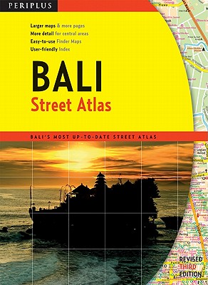
Periplus Bali Street Atlas
Finding your way around Bali has never been easier! This newly revised Street Atlas from Periplus, Asia's leading book and map Publisher, is designed for Bali residents and visitors. It is the first and only atlas of Bali produced to world-class cartographic standards. All roads are color-coded with major arteries in bright yellow and orange. All key landmarks are highlighted - including beaches, temples, hotels, shops, restaurants, shopping malls, consulates, government offices, hospitals, clinics, police stations, schools, parks, banks and golf courses. Towns and tourist areas are shown at scales of 1:10,000 to 1:15,000 to provide detailed coverage of these important areas. Other parts of the island are shown at scales of 1:60,000 or 1:75,000 for ease of reference and minimum page-flipping. User-friendly indexes at the back list all streets, towns, villages and buildings for quick reference. COMPREHENSIVE: Covers every major town and tourist area in Bali. INFORMATIVE: Gives precise locations of popular sights, including hotels, restaurants, temples, shopping malls and other essential landmarks. PRACTICAL: The handy size, well-designed key maps and comprehensive indexes help you find your destination quickly. RELIABLE: The maps in this atlas are thoroughly researched and regularly updated by Periplus-the leading publisher of Asia Pacific maps.
Michelin Map Italy
Michelin local maps provide detailed coverage of Italy, perfect for fully exploring the country. ,
Michelin Map Italy
Michelin local maps provide detailed coverage of Italy, perfect for fully exploring the country. ,
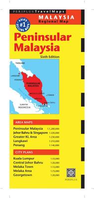
Peninsular Malaysia Travel Map
The Peninsular Malaysia Travel Map from Periplus is designed as a convenient, easy-to-use tool for travelers. Created using durable coated paper, this map is made to open and fold multiple times, whether it's the entire map that you want to view or one panel at a time. Following highways and byways, this map will show you how to maneuver your way to banks, gardens, hotels, golf courses, museums, monuments, restaurants, churches and temples, movie theaters, shopping centers and more! This 6th edition includes maps and plans that are scaled to: Area Maps: Peninsular Malaysia 1:1,200,000 Johor Bahru & Singapore 1:220,000 Greater KL Area 1:230,000 Langkawi 1:210,000 Penang 1:140,000City Plans: Kuala Lumpur 1:33,000 Central Johor Bahru 1:20,000 Melaka Town 1:15,000 Melaka Area 1:75,000 Georgetown 1:20,000Periplus Travel Maps cover most of the major cities and travel destinations in the Asia-Pacific region. The series includes an amazing variety of fascinating destinations, from the multifaceted subcontinent of India to the bustling city-state of Singapore and the 'western style' metropolis of Sydney to the Asian charms of Bali. All titles are continuously updated, ensuring they keep up with the considerable changes in this fast-developing part of the world. This extensive geographical reach and attention to detail mean that Periplus Travel Maps are the natural first choice for anyone traveling in the region.
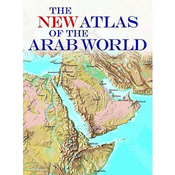
The New Atlas of the Arab World
The first up-to-date, handy reference atlas covering all twenty-two countries of the Arab League, with maps, demographic, cultural, and political information The Arab world, covering a large part of northern Africa and southwestern Asia, comprises the twenty-two countries of the League of Arab States, from Morocco in the west to Oman in the east, from Syria in the north to Comoros in the south. This new atlas, compiled using information from the latest satellite imagery, contains detailed maps of the entire region, showing physical features, political boundaries, towns, and communication networks. In addition, each of the twenty-two countries is the subject of an illustrated essay, with notes and the latest statistics on the geography, population, history and politics, and economy of the country. The countries covered are: Algeria, Bahrain, Comoros, Djibouti, Egypt, Iraq, Jordan, Kuwait, Lebanon, Libya, Mauritania, Morocco, Oman, Palestine, Qatar, Saudi Arabia, Somalia, Sudan, Syria, Tunisia, United Arab Em
World Classic, Pacific Centered
Expertly researched and designed, National Geographic's World Wall Map is the authoritative map of the world by which other reference maps are measured.Product Features: Signature Classic style map with bright, easy to read color palette with blue oceans and colorful bordersUnique Pacific-centered view accentuates the Pacific Rim and focuses on Asia, Oceania, and the full breadth of the Pacific Ocean. Background shows mountain ranges and valleys in subtle shaded relief with mountain ranges labeled Major water bodies including rivers, lakes, glaciers, oceans, seas, gulfs, bays, straits, and bathymetryClearly defined international boundaries, cities, islands, airports, and physical featuresThousands of place names carefully and artfully placed to maintain legibility in heavily populated areasUp-to-date international boundaries and territorial control reflect de facto status on the groundMeticulously researched using multiple authoritative sources including the U.N., U.S. Board on Geographic Names, and policies of individual governments.Accurate place names use a combination of conventional English names, official national names, and standard transliterations for non-Latin alphabets. Drawn in Winkel Tripel projection with distortions minimized unlike other World maps (e.g. Greenland is shown the same size as Argentina, not South America)Corner inset maps feature vegetation, land use, population density, and north and south polar regionsThe map is encapsulated in heavy-duty 1.6 mil laminate which makes the paper much more durable and resistant to the swelling and shrinking caused by changes in humidity. Laminated maps can be framed without the need for glass, so the frames can be much lighter and less expensive. Map Scale = 1:29,820,000Sheet Size = 46" x 30.5"
National Geographic: The Milky Way Wall Map (31.25 X 20.25 Inches)
This computer-generated image of the Milky Way shows the entire galaxy in one perspective of a 3-D model compiled specially for National Geographic. The model incorporates the positions of hundreds of thousands of stars and nebulae within the galaxy, shows Earth's location, and includes additional photographs, descriptions and locations of fascinating phenomena throughout the Milky Way.The map is packaged in a two inch diameter tube with a label showing a thumbnail of the map with dimensions and other pertinent information.Sheet Size = 31.25" x 20.25"


![Banff North [banff and Yoho National Parks] Banff North [banff and Yoho National Parks]](https://cdn.kingstone.com.tw/english/images/product/6598/9781566956598.jpg)


