Periplus Travel Maps Java & Bali, Indonesia Regional Map
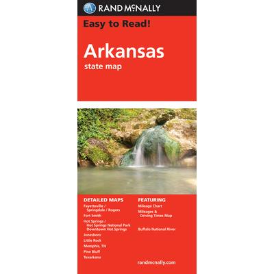
Rand McNally Easy to Read! Arkansas
Description Rand McNally's Easy To Read State Folded Map is a must-have for anyone traveling in and around Arkansas, offering unbeatable accuracy and reliability at a great price. Our trusted cartography shows all Interstate, U.S., state, and county highways, along with clearly indicated parks, points of interest, airports, county boundaries, and streets. The easy-to-use legend and detailed index make for quick and easy location of destinations. You'll see why Rand McNally folded maps have been the trusted standard for years. Regularly updated, full-color maps 31% larger map with a bigger type size than the Rand McNally Folded Map Clearly labeled Interstate, U.S., state, and county highways Indications of parks, points of interest, airports, county boundaries, and more Mileage and driving times map Detailed index Convenient folded size Coverage Area Detailed maps of: Buffalo National River, Fayetteville/Springdale/Rogers, Fort Smith, Hot Springs/Hot Springs National Park, Downtown Hot Springs, Jonesboro, Little Rock, Memphis, TN; Pine Bluff, Texarkana Product Details Dimensions (unfolded): 28" x 40".
National Geographic: Earth at Night Wall Map (35 X 22.25 Inches)
This intriguing map reveals in stunning detail the pulsating lights of the Earth at night. See where populations are most and least concentrated. The rare view is a composite image made by three satellites on cloud-free nights over a one-year period. In addition to showing lighted areas of the Earth, this map also features where fires rage and natural gas burn-off and night fishing locations.The map is packaged in a two inch diameter tube with a label showing a thumbnail of the map with dimensions and other pertinent information.Sheet Size = 35" x 22.25"
National Geographic: Australia Classic Wall Map (30.25 X 27 Inches)
National Geographic's wall map of Australia is one of the most authoritative maps of the "Land Down Under." The Classic style map uses a bright color palette featuring blue oceans and stunning shaded relief that has been a signature of National Geographic wall maps for over 75 years. This map features thousands of place names, including primary and secondary towns, accurate boundaries, parks and protected areas, aboriginal lands, and transportation infrastructure such as airports and highways. Australia's famous coastal reefs including the extraordinary Great Barrier Reef are shown as well. Coverage also includes Tasmania and the Coral Sea Islands.The map is packaged in a two inch diameter tube with a label showing a thumbnail of the map with dimensions and other pertinent information.Map Scale = 1:6,413,000Sheet Size = 30.25" x 27"


